
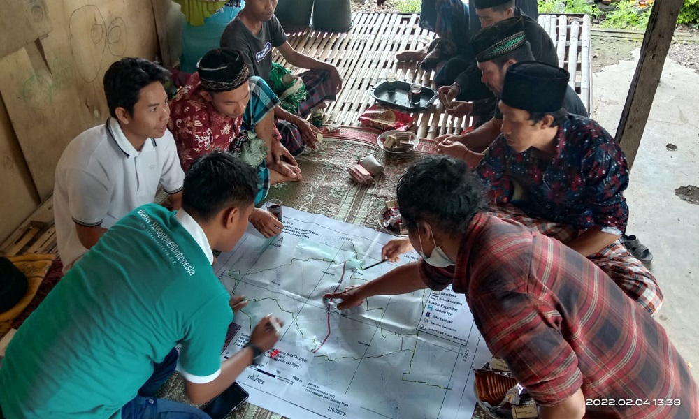
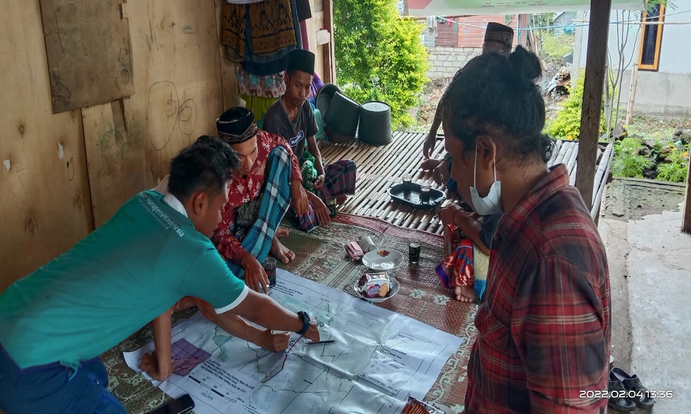
Friday (04/02/22) at the Mulagati and Lokok Sutrang hamlets, SHEEP Indonesia in the Lombok area along with the village disaster preparedness team initiated a Focus Group Discussion (FGD) activity to create an Emergency Evacuation Map procedure (determination of evacuation routes and gathering points) in each hamlet which is integrated with the Community Evacuation Center (PEM). The FGD was attended directly by representatives of the Head of Dusun Mulagati and Lokok Sutrang, the head of the RT, community leaders, youth leaders, women, and TSBD Santong Mulia.
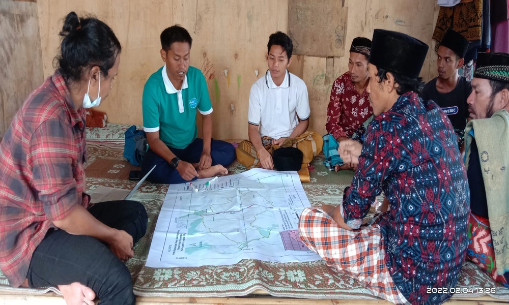
The creation of evacuation routes and assembly points is a follow-up to the results of the risk assessment that the village has previously prepared. One of the results of the study related that there were no evacuation routes and gathering points in the village of santong noble, then followed up with the identification of points that were traced during the earthquake that hit Lombok in 2018. earthquake is, there are no maps, routes and evacuation locations in the village that are used as information for the community.
The results of the FGD will be disseminated to the community through the Friday sermon. Khatib, who is also a village leader, feels that the impact of the earthquake was very detrimental, so that with a moment of assistance from YSI, there was support for disaster risk reduction through a religious approach . This result will also later be pasted as village information so that it can be accessed by all residents who are integrated with the PEM (community evacuation center) function during normal times and during disasters so that preparedness arises when a disaster occurs.