Select your language
 ID
ID 


Program Activities
Remembering the 2019 Bangga Flash Floods, Communities Strengthen Landscape-Based Preparedness
YSI
Hits: 113
4 minutes read
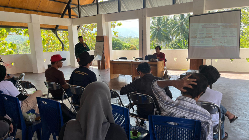
Yayasan SHEEP Indonesia (YSI) facilitated capacity strengthening for the Landscape-Based Early Warning System Working Group in Bangga Village, South Dolo Subdistrict, Sigi Regency, Central Sulawesi, on 8 August 2026. The activity brought together community representatives and village government officials from Dolo Selatan and Sigi Biromaru Subdistricts to strengthen preparedness for the threat of flash floods.
Bangga Village was selected because the community has extensive experience dealing with devastating flash floods. On 28 April 2019, a flash flood carried more than two meters of mud, rocks, and logs, burying residential areas. The disaster was followed by subsequent flooding in May and several other flood events throughout 2019.
This experience has encouraged the community to move beyond simply reacting after disasters occur. They are also strengthening year-round preparedness by understanding natural warning signs and changes in environmental conditions.
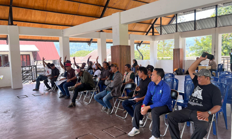
The capacity-building activity was attended by 22 participants, including 19 representatives from disaster management groups, Posyandu, Karang Taruna, PEM Bangga management, RAPI, the Dolo Selatan Subdistrict Disaster Risk Reduction Forum (FPRB), as well as representatives from three village governments in Dolo Selatan and Sigi Biromaru. Participants included village government officials, volunteers, community leaders, women’s groups, and disaster preparedness groups.
YSI facilitated a learning process covering the introduction of landscape-based early warning systems, interpretation of weather information, observation of river conditions, identification of natural warning signs in upstream areas, evacuation route mapping, and strengthening of inter-village communication mechanisms.
One of the speakers, Mohamad Fathan from Mutiara Sis Al Jufri Meteorological Station in Palu, explained the importance of recognizing rainfall cloud formation patterns, particularly Cumulonimbus (Cb) clouds, which can produce high-intensity rainfall over a short period, accompanied by lightning and strong winds.
Participants learned that the presence of Cumulonimbus clouds in upstream areas should be treated as a warning sign. Heavy rainfall in mountainous areas can increase river discharge and trigger flash floods carrying mud, rocks, and logs. Other warning signs discussed included very dark clouds over upstream areas, intense thunder, rumbling sounds from the direction of the river, sudden changes in water color to very turbid conditions, and the appearance of logs or mud in the river flow.
During the discussion, participants identified several important observation points in the upstream areas of the Ore River and Miu/Palu River, including Sabo DAM 3 on the Ore River, the Simoro Bridge over the Miu/Palu River, and the Sambo Bridge over the Binangga River, along with other agreed locations. These points were identified as initial monitoring locations when heavy rainfall occurs in mountainous areas.
YSI also facilitated the development of an inter-village communication mechanism to accelerate the dissemination of early warning information. Information collected by upstream observers is planned to be shared through WhatsApp groups and handheld radios (HT), allowing communities to increase their level of preparedness at an earlier stage.
YSI emphasized that disaster risks do not follow village administrative boundaries. Conditions in upstream areas can determine what happens downstream some time later. Therefore, coordination among villages is an important part of an effective early warning system.
Bangga Village Head Abrar Ganasatu stated that the ability to recognize natural warning signs and changes in weather conditions is important for communities and village governments in determining mitigation and preparedness measures more quickly.
YSI Central Sulawesi Area Manager Masturido emphasized that the capacity-building activity aims to position communities as the main actors in disaster risk reduction.
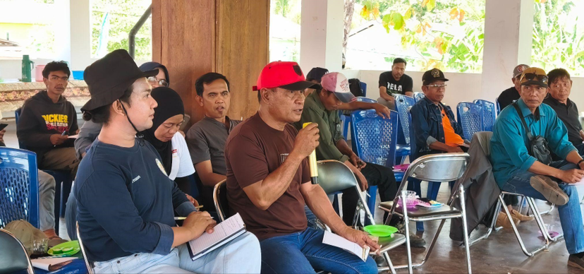
One participant, Muhammad Farid, said, “We are the people who live closest to the river. We know the river conditions best, and we are also the ones at risk of being affected by floods. Therefore, we have a strong interest in continuously monitoring and reporting river conditions to the community and the government so that this information can serve as an early warning for everyone living along the riverbanks within the Palu River Basin.”
Through this activity, the people of Bangga Village have begun developing an early warning system that combines local knowledge with weather information from BMKG, Indonesia’s Meteorology, Climatology, and Geophysical Agency. Residents are encouraged to actively monitor official BMKG channels, Central Sulawesi weather information, and disaster communication networks at the regency level.
As a follow-up, YSI, together with the village government and the Early Warning System Working Group (EWS Working Group), plans to develop Standard Operating Procedures (SOPs) for a landscape-based flood early warning system covering the Palu River Basin, from Dolo Selatan Subdistrict in Sigi Regency to Besusu Barat Urban Village near the river mouth in Palu City.